

NASA Transforms Satellite Images into Art with Its Name
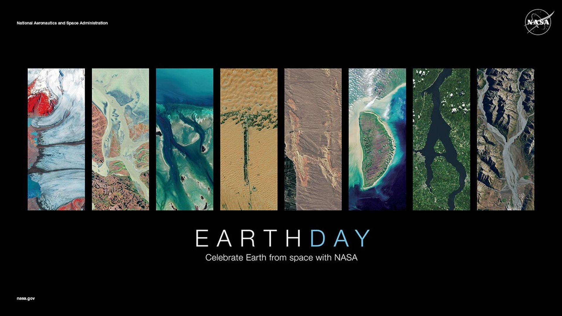
The NASA launched "Your Name in Landsat" for Earth Day 2026: a free tool transforms decades of planetary observation data into a personalized visual experience, and reveals how serious science can operate with strategic lightness.
Words by

Words by Caíque Nucci
Editor-in-Chief
Listen to this story
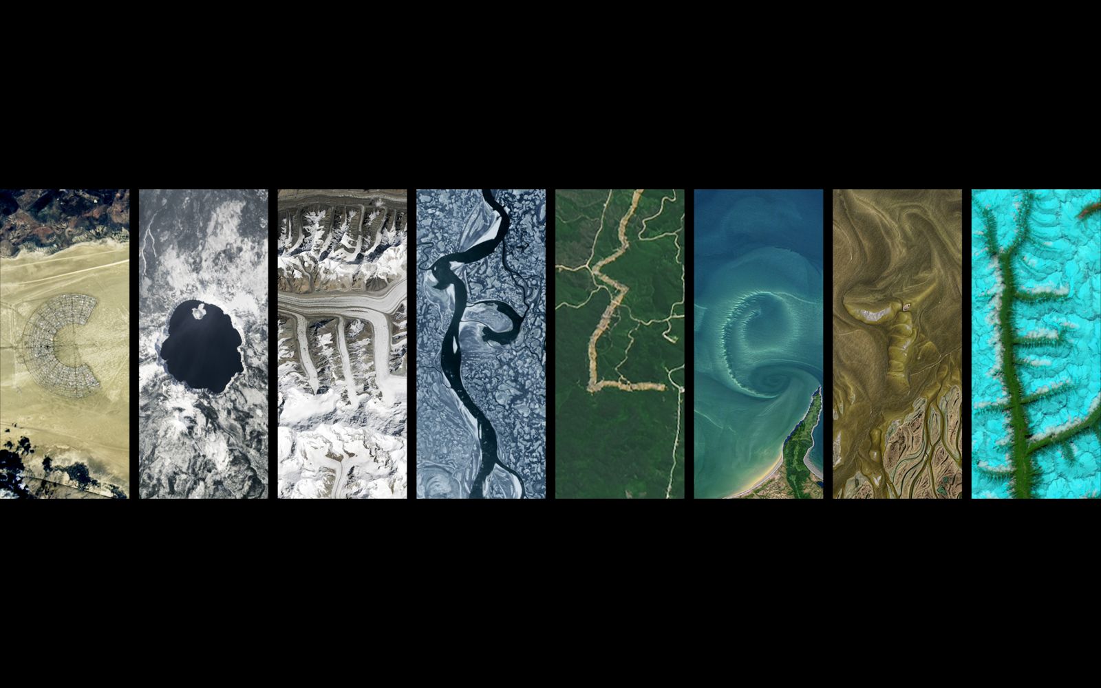
Fifty-four years of uninterrupted monitoring of the Earth's surface. This is the collection that NASA and the USGS (United States Geological Survey) have made available for an apparently simple experience: typing your name and seeing it spelled out in real satellite photographs, each letter formed by rivers, craters, glaciers, or rock formations of the planet. The tool is called Your Name in Landsat and was launched on Earth Day 2026, on April 22.
The project is developed on the Landsat program, the world's longest-running earth observation mission, in operation since 1972. The images come from four institutional databases, NASA Earth Observatory, NASA Worldview, USGS EarthExplorer, and ESA Sentinel Hub, all of which are public and accessible for download. The gallery features 72 images representing each letter of the alphabet, collected in locations ranging from Brazil to Antarctica and the mountains of Kyrgyzstan.
What makes this initiative relevant from a strategic standpoint goes beyond aesthetics. In 2008, the decision to make the entire Landsat archive free and publicly accessible transformed the program from a specialized scientific tool into a global resource now used in agriculture, environmental monitoring, disaster response, and climate research. According to a USGS assessment, Landsat data generated an estimated $25.6 billion in economic value for the American economy in 2023 alone. The personalization tool, therefore, serves as a spearhead to communicate this asset to the general audience.
The angle of engagement is deliberate: by making science personal and interactive, NASA demonstrates how the Landsat program aids in tracking climate change and deforestation. The interface also allows the user to hover over each image to see the exact location of the photographed landscape, with latitude and longitude coordinates. The result can be exported as an image file or shared via link.
The launch coincides with another milestone for the agency in 2026: the Artemis II mission, which took off on April 1 and generated unprecedented images of Earth photographed by astronauts from lunar orbit. On April 6, the crew captured the Earth setting over the lunar surface, in an image that directly evokes the iconic "Earthrise" photo taken by Apollo 8 in 1968. The two events build, together, a consistent narrative: regardless of how far humanity advances in space, observing Earth remains central to NASA's scientific mission.
For those working in communication, branding, and audience strategy, Your Name in Landsat is a case study in simplifying complex data. The tool does not require elaborate gamification or advanced mechanics. Personalization, applied to a decades-long scientific archive, produces spontaneous engagement with serious environmental science. It is the type of move that agencies, brands, and cultural publications should observe with attention.
Complete TV · Reels
A geografia sonora do Atlântico virou imagem e espaço.
See on InstagramFrom Complete







More from Caíque Nucci
View profile

Latest from Complete
 FashionGuccicore: plurality as a language of style
 BeautyISDIN Fusion Water Magic: sun protection with lightness and technology
 The CoverIn the beginning, we couldn't even use the word handicraft.
 DesignTomie Ohtake House‑Studio presents Zanine Caldas
 CultureThievery Corporation, 30 years: the Washington duo that originated in bossa nova
 The CoverBrazil still gives little recognition to genuinely Brazilian authorial fashion.
 InnovationLight has become a building material